NY, NJ Officials Urge Caution As Storms, Hurricane Joaquin Approach
NEW YORK (CBSNewYork/AP) -- The governors of New York and New Jersey are warning residents to prepare for drenching storms that could cause power outages and close roads as Hurricane Joaquin gains strength.
In New Jersey, Gov. Chris Christie declared a state of emergency Thursday morning. The emergency order allows state officials the "tools they need to ensure a speedy and orderly response," Christie said.
Flood warnings and watches are in effect along the Jersey coast that has been hit by intermittent heavy rains and strong on-shore winds the last few days. That's expected to continue, especially Friday and Saturday, regardless of what happens with Joaquin.
Hurricane Joaquin: Weather Videos | Watches & Warnings | Live Radar | Severe Weather Guide
"Whether or not Joaquin is a direct issue for New Jersey by Monday, we know that there's definitely going to be moderate and likely to be major flooding events in south Jersey on Friday and Saturday, with 5 to 6 inches of rainfall expected to come over those two days," Christie told reporters, including WCBS 880's Marla Diamond, on Thursday.
At particular risk are communities along the Delaware Bay, in Salem and Cumberland counties and the coastal communities in Atlantic and Cape May counties, the governor said. Christie said he will order evacuations if necessary.
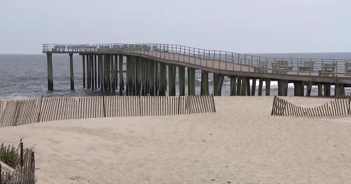
Christie says the state Office of Emergency Management was activated at 6 a.m. Thursday and the Department Environmental Protection has reached out to communities about moving sand to protect beaches.
"I need all of you to begin to prepare today,'' he said. "We are not quite sure whether this is gonna be a single punch or a double punch. There's no question there's gonna be a single punch.''
More: Tips On Preparing For The Storm
The governor said he has already been in contact with the Federal Emergency Management Agency, the Department of Homeland Security and Red Cross. He said residents should "be prepared, but don't panic."
"It's an important to note that for all the residents that they have to stay informed and continue to watch the news, listen on the radio, take precautions and prepare for any of the eventual weather scenarios," Christie said.
State climatologist David Robinson said Joaquin is likely to be felt in some way in New Jersey no matter where it turns, but that it's not expected to be as severe as Superstorm Sandy even if it makes a direct hit on the shore.
There are disparate possibilities for where the storm may head and that's why Robinson is calling it a "problem child.''
If it hits the state directly, he said, it could cause heavy rains like Tropical Storm Irene did in 2011. If it hits south of New Jersey, like in Virginia or the Carolinas, the major impact on New Jersey would more likely be strong winds.
When it comes to mass transit, Christie said he hopes there will be normalcy in New Jersey.
"Here's the only way it won't be: If we have to start to move equipment to higher areas ... that will cut back on the amount of equipment we have to move people, so there may be some delays," he said.
NJ TRANSIT said the agency has designated safe haven locations for equipment. Sandy did $125 million worth of damage to 300 rail cars -- something the agency does not plan to see happen again.
Christie said high winds could also potential wreak havoc on catenary wires, causing disruptions.
In New York, Gov. Andrew Cuomo activated the State Emergency Operations Center in Albany to monitor the weather.
"As Hurricane Joaquin makes its way up the East Coast, New York is in a much better position today than we have ever been before - but when it comes to Mother Nature, you can never be too prepared," Cuomo said. "I urge New Yorkers to exercise caution and stay informed in the coming days."
Cuomo said OEM crews will head to New York City and Long Island, where severe weather and coastal flood plans have been activated in order help local emergency response efforts.
He said the state has also stockpiled generators, food, water, light towers, water pumps and sandbags that are ready to go if needed.
Cuomo told WCBS 880's Ginny Kosola said the Metropolitan Transportation Authority is already preparing by "prepositioning equipment, clearing construction sites."
Port Authority has set up flood barriers, generators and pumps at critical transportation facilities as it monitors the storm's progress.
Port Authority Executive Director Pat Foye said airport power stations have been elevated since Sandy. LaGuardia Airport has a generator to make sure flooding can be pumped out.
Flood protection barriers were installed on the PATH system after Sandy, but crews will also deploy sandbags and pumps at stations and tunnels, if necessary. Preparations are also being made to roll trains to higher and drier ground, if necessary.
Citi Bike said it is preparing to move fewer than 20 docking stations located in areas at risk of flooding. Those stations will be show as gray or out of service on its mobile app.
Mayor Bill de Blasio said Thursday that New York will be ready if Hurricane Joaquin threatens the city.
De Blasio said the city had learned lessons from Superstorm Sandy in 2012 and is already preparing for all possible outcomes.
The mayor is slated to travel to Washington and Baltimore Friday and Saturday for a series of political meetings, but said he will adjust his plans accordingly if the storm threatens New York.
National Weather Service meteorologist Mitchell Gaines said shore residents should have gas in their cars and be prepared to evacuate. He said that people should also be ready for power outages.
Officials also recommend people have three days of water and nonperishable ready-to-eat food, along with a battery-operated radio and extra batteries, a flashlight, a week's supply of medicine and some cash.
"We don't know exactly when the storm will hit, they're talking about Monday, Tuesday, but I would use the time to buy some emergency supplies for the house," Cuomo said.
Joaquin strengthened to a Category 4 storm as it churned off the Bahamas on Thursday. Officials were closely watching the progress of the hurricane, though its path was far from certain. So far, there's been little consensus among computer-prediction models for the hurricane.
No matter which way Joaquin heads, an area of low pressure in the Southeast and a front stalled over the East Coast will pull moisture from the Atlantic Ocean, causing rain over the next few days, said Bruce Terry, lead forecaster for the government's Weather Prediction Center.
The heaviest rain is expected in wide swaths of North Carolina and Virginia, along with parts of Maryland, Delaware and New Jersey, according to a National Weather Service forecast map. The National Weather Service predicts as much as 10 inches for some areas.
(TM and © Copyright 2015 CBS Radio Inc. and its relevant subsidiaries. CBS RADIO and EYE Logo TM and Copyright 2015 CBS Broadcasting Inc. Used under license. All Rights Reserved. This material may not be published, broadcast, rewritten, or redistributed. The Associated Press contributed to this report.)