8/29 CBS2 Monday Afternoon Weather Headlines
Justin Lewis
CBS2 Meteorologist
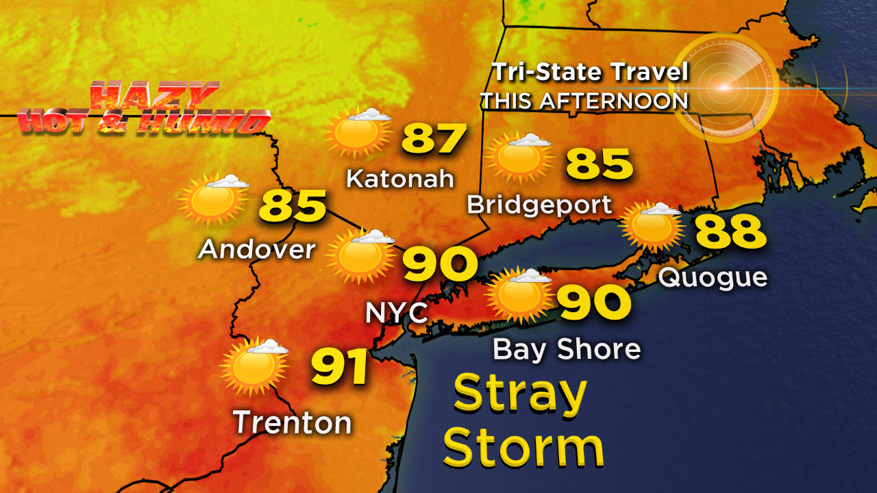
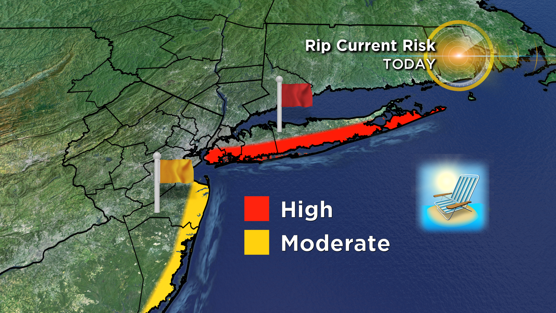
We're still feeling the heat this afternoon as temperatures spike at around 90°. Thankfully, our wind shift will allow for some drier air to work its way in, so it won't be terribly humid out there. Not to mention, our skies will cooperate, so it will be a decent afternoon to hit the pool or beach. And speaking of the beaches, there's a high risk of rip currents along the south shore the next few days, so be careful if you take a dip!
We'll see mostly clear skies tonight as higher pressure nudges its way in. Temps will fall to about 70° by daybreak.
Sunshine will win out tomorrow as we remain under the influence of high pressure. And we'll see both our humidity down and our temps down with highs only in the low to mid 80's.
We'll slowly lose grip on our high pressure system on Wednesday as our next cold front approaches. And really, much of the day looks fine, but a late day shower or storm can't be ruled out, especially to the north and west. It will be a little more sticky too with our flow returning to the south and west. Highs that day will be in the mid 80's.
As for Thursday, expect a leftover shower with highs in the low 80's.