Hurricane Sandy Poised To Create 'Extraordinary' Storm in New York
NEW YORK (CBSNewYork) -- Hurricane Sandy continued her ominous northward trajectory Sunday evening, as the threat of an extraordinary and historic storm mounted for the New York metro area.
CBS 2 Meteorologist Lonnie Quinn reported as of the 11 p.m. hour, Hurricane Sandy remained a Category 1 hurricane, and was expected to strengthen as it advanced north.
Landfall was expected late Monday or early Tuesday. It could be anywhere between Sandy Hook, N.J., and Maryland, but devastating effects will be felt far beyond where the hurricane hits land.
Hurricane-force winds are expected up to 175 miles from the anticipated landfall zone. Tropical storm-force winds are expected up to 520 miles away, meaning that if the storm made landfall in Atlantic City, tropical storm-force winds would be felt all the way to Nova Scotia.
The highest probability remained Sunday night that Sandy would make landfall in Atlantic City.
The storm is extraordinary for five reasons, Quinn reported.
The first reason is that the storm is following the Gulf Stream, moving north but holding onto the stream's warm water. Secondly, two systems are merging – Hurricane Sandy herself and a cold front that could have pushed the hurricane out to sea, but instead stalled and ensured landfall.
Third, the jet stream, which as a rule moves from west to east, has made a 180-degree turn and hooked westward.
"I've never seen this," Quinn said. "Since 1997, I've been doing this job. I've never seen it do a hook to the west."
Fourth, a full moon on Monday night will result in higher tides, which will make storm surges even worse. And fifth, a high-pressure system is making for a cork-in-a-bottle phenomenon, in which the storm is trapped in place and cannot escape.
For that reason, the hurricane will be hovering over the New York City area for up to 36, or even 48, hours.
The hurricane will transition to a Nor'easter on land, but don't think of that as good news, Quinn said.
"It's a bad thing," he said. "It's like giving this storm a Monster energy drink."
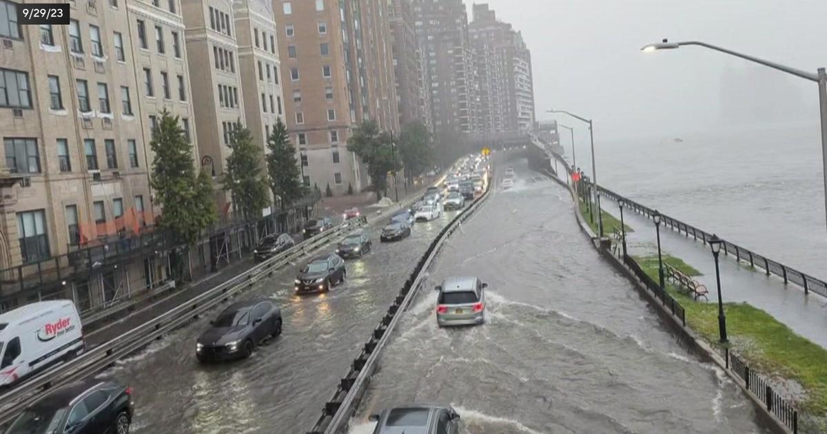
Rainfall is expected to total 4 to 9 inches, with the higher totals in Ocean County, N.J. Atlantic City and the surrounding area could see 10- to 15-foot surges, but if the storm veers north, the immediate New York City area could see such surges too, Quinn reported.
Winds are expected to gust up to 70 mph or more, and tornadoes are also possible in the northeast quadrant.
Shoreline areas could see 10 to 15-foot waves, rip currents, rough surf, and beach erosion. Inland areas will see sustained winds, downed trees, power outages, torrential downpours, and possible tornadoes, Quinn said.
Wind alerts are in effect from 6 a.m. Monday to 6 p.m. Tuesday. Flood alerts are also in effect for the same time period, and not just in coastal regions.
The forecast calls for 5 to 9 inches of rain, while Hurricane Irene gave the area 11. But don't be fooled, Quinn said, because that figure could go up if the rain persists.
And while Irene hovered over the area for only 3 to 7 hours, the Sandy "Frankenstorm" is expected to remain for 24 to 36 hours.