Powerful Storms Impacting Tri-State Area May Bring Large Hail, Localized Flooding Wednesday
NEW YORK (CBSNewYork) - Get ready for another very active weather day.
Here's a look at what to expect, and when.
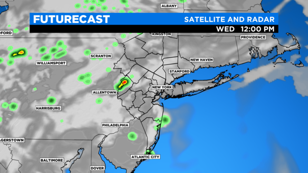
Midday: Isolated showers/thunderstorms will begin to push in and develop around the tri-state area with the focus to the west of New York City.
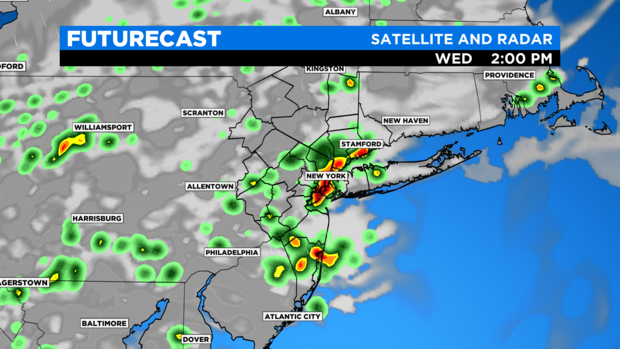
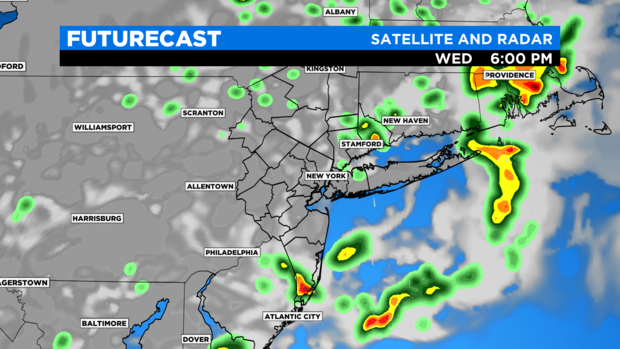
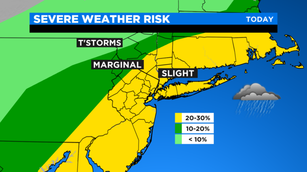
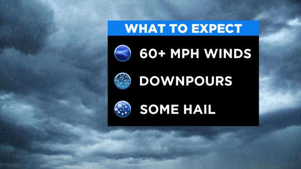
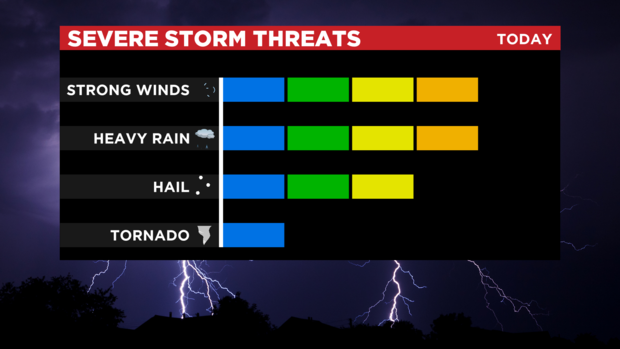
Early to mid afternoon: Showers/thunderstorms will become more widespread and impact the city and surrounding areas. Some of these storms will be capable of producing damaging winds and even some large hail, as well as downpours that could lead to localized flooding.
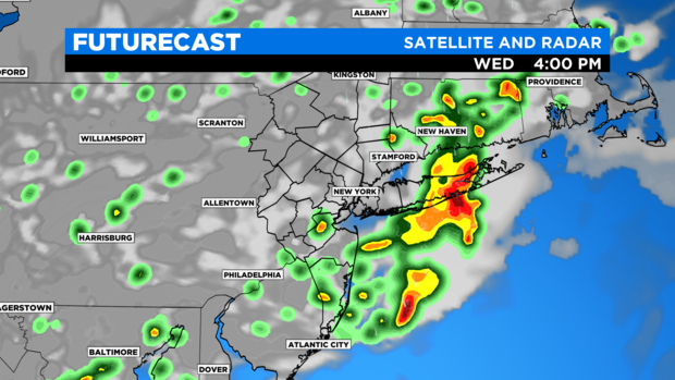
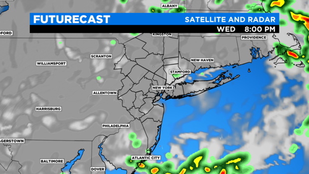
Late afternoon: Strong thunderstorms will continue to push south and east through coastal New Jersey and Long Island. The bulk of the activity is expected to push offshore by about 7 p.m.
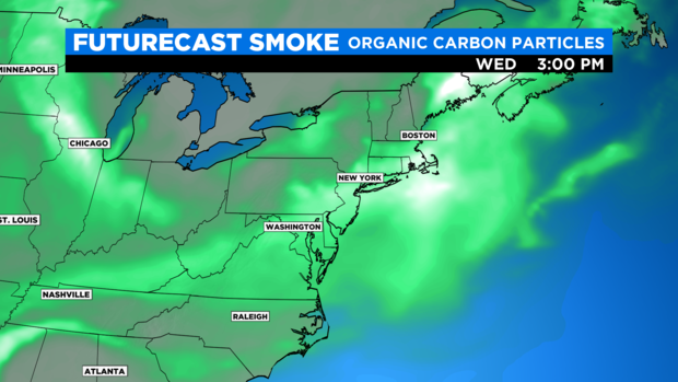
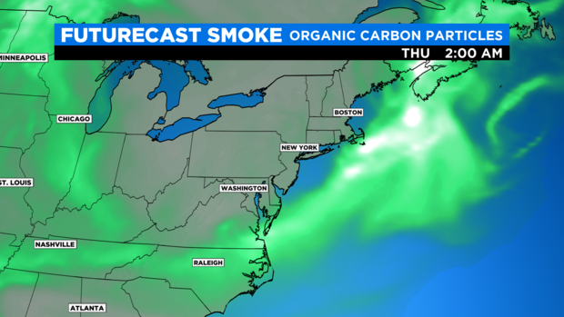
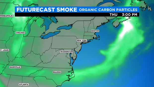
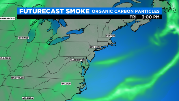
Regarding the haze, it will still be prevalent into the afternoon -- though the rain should help clean out some of the particles in the atmosphere. Then, as we introduce a change in the winds on the backside of the cold front later today, the hazy conditions will become less apparent tonight into tomorrow, and especially into Friday.
CLICK HERE to check the full forecast.