1-2 Punch Of Winter Weather Zeros In On Tri-State Area
NEW YORK (CBSNewYork) - A snow alert, as as well as a winter storm watch are in effect for New York City as a messy mix settles in overnight.
It's the first of an anticipated one-two punch of winter weather this weekend.
MORE: CBS New York's Winter Storm Survival Guide
The Department of Sanitation's snow alert took effect at 7 p.m. Thursday. Under the alert, the Department of Sanitation was coordinating with Office of Emergency Management and Department of Transportation to arrange for a snow clearing protocol.
WATCH: Lonnie's Latest Weather Forecast
"We see some snow tonight: A coating to 1", even for the city, 1"-3" north and west and with elevation we could even see 3" plus in parts of Sullivan, Ulster, Catskills, Poconos. Nighttime flakes tonight. It's at night, it's overnight. It's messy in the morning with that changeover," CBS2's John Elliott said.
We'll go from snow, ice and rain on Friday morning to snow on Saturday night. The weather will change overnight Saturday into Sunday, with snow turning to rain. After heavy rain and snow north and west during the day Sunday, on Sunday night temperatures will start to drop, with more snow coming down and turning to ice. Icing and plunging temperatures will be a major concern Monday.
"It's Saturday night into Sunday when it just turns crazy," said CBS2's John Elliott. "You've got all these moving parts: Warm air on the move, big numbers as far as available moisture coming in Saturday into Sunday. So yeah, you really have to kind of pay attention."
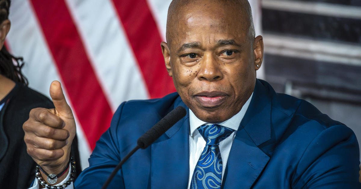
"We are facing a particularly challenging and large storm over the weekend," said Department of Sanitation Commissioner Kathryn Garcia. "We are expecting a challenging event because the accumulations are very, very wide in terms of possibility because of the very steep temperature changes that are going to occur."
"Anything that does come out of the sky will freeze into an iceberg," Garcia said.
Garcia added the city planning to be able to plow a foot of snow.
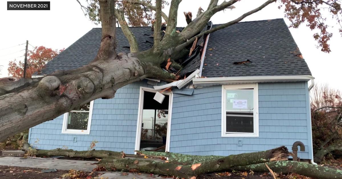
Office of Emergency Management Commissioner Joseph Esposito said the city is "leaning forward for this event," having learned from the storm in November that ground New York City to a halt.
"We learned from that event, and we're all leaning forward a little sooner now," Esposito said. "A lot of what we're doing today and what we've been doing in the last couple of weeks is an effect of that leaning forward. So we're doing more sooner as a result of November's incident."
Mayor Bill de Blasio down on that, saying taking what the National Weather Service predicts for snow accumulation and multiplying it by four.
"As The Who once said, 'we won't be fooled again'," de Blasio said.
During the surprise November pre-winter blast, an accident shut down the George Washington Bridge and caused backups for miles which crippled city traffic. This go-round, officials say there are plows and salt-spreaders at the ready to handle whatever comes our way.
Equipment includes 700 salt-spreaders and 1,000 plows, and they'll add 600 plows to the fleet on Sunday.
Officials say one of the biggest failures last time was the lack of urgent messaging to city residents. This time, the city wants to be loud and clear.
"I am telling you right now for the event over the weekend you should not be on the roads," Garcia added.
For more information on how the city is preparing for the storm, click here.


