Advancing Storms Prompt Flash Flood Watch, Snag Air Traffic
NEW YORK (CBSNewYork) -- A new round of storms was targeting the Tri-State Area late Sunday, prompting a flash flood watch and major delays at area airports.
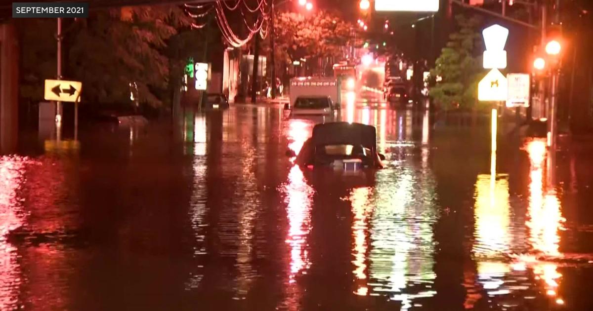
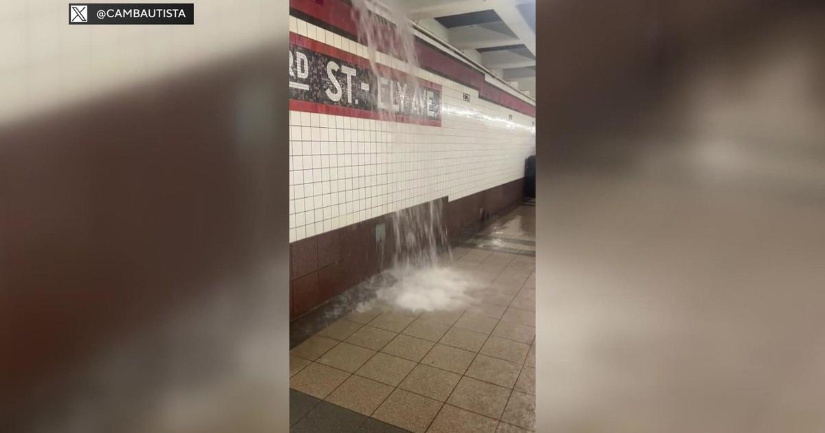
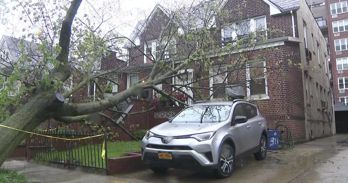
The flash flood watch goes into effect at midnight for most of the Tri-State Area, including the five boroughs of New York City, and does not expire until 11 a.m. Monday.
CHECK: Forecast | Radar | Flight Delays
Modest rain was seen early Sunday evening, but energy was building to the west to bring strong storms during the late-night hours. Some storms are expected to hit the area by 11 p.m., and storm activity is expected to remain in parts of the area during the Monday morning rush, CBS2's Elise Finch reported.
CBS2 Storm Watch advises commuters to take it slow and leave early on Monday morning due to flooding and poor drainage.
By Monday at 12:30 p.m., rainfall is expected to reach 2.2 inches in New York City, 3 inches in Coram, and 3.9 inches in Montauk – but only .2 inches to the south in Trenton, New Jersey, and .8 inches to the north in Poughkeepsie.
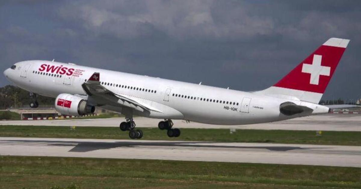
The storms were already causing major delays at area airports early Sunday evening.
Departure traffic was delayed an average of 2 hours and 28 minutes at John F. Kennedy International Airport at 6:10 p.m., while departure traffic at LaGuardia Airport was delayed 3 hours and 11 minutes.
Monday will be another cool day with temperatures in the mid-70s.
Tuesday looks like a day of improvement with an early morning shower chance followed by clearing skies and temps in the upper 70s, CBS2 Meteorologist Mark McIntyre reports. Wednesday should be the pick of the week with bright blue skies and a high right near 80.