New York Weather: CBS2's 1/29 Friday Afternoon Forecast
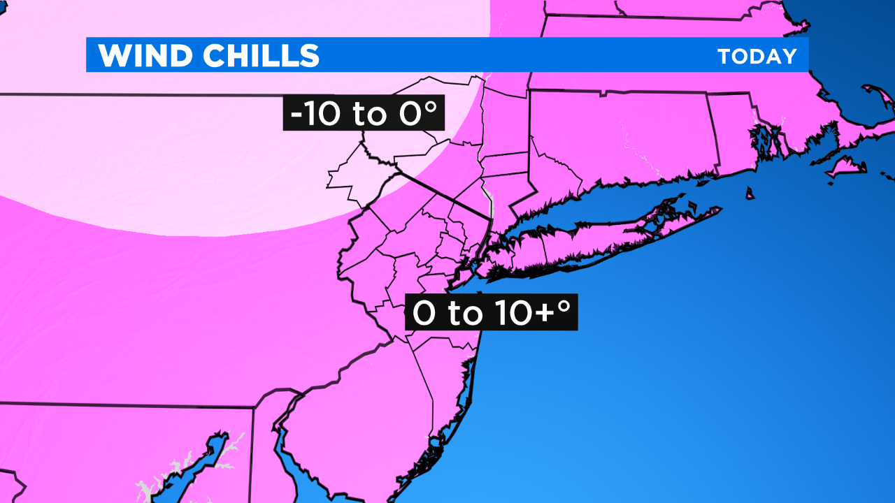
Today will easily be the coldest day of the season so far... *windy with highs in the low 20s and widespread wind chills of 0-10+°.
*WIND ADVISORY UNTIL 4 PM... GUSTS TO 50 MPH
Tonight will be very cold and still a bit blustery. Temps will fall into the teens and single digits with wind chills of 0-10°.
Saturday will remain very cold, but it won't be as windy. Expect highs in the upper 20s with wind chills mainly in the teens.
Sunday will be cold again with a little more cloud cover. Expect highs around 30° with wind chills in the 20s.
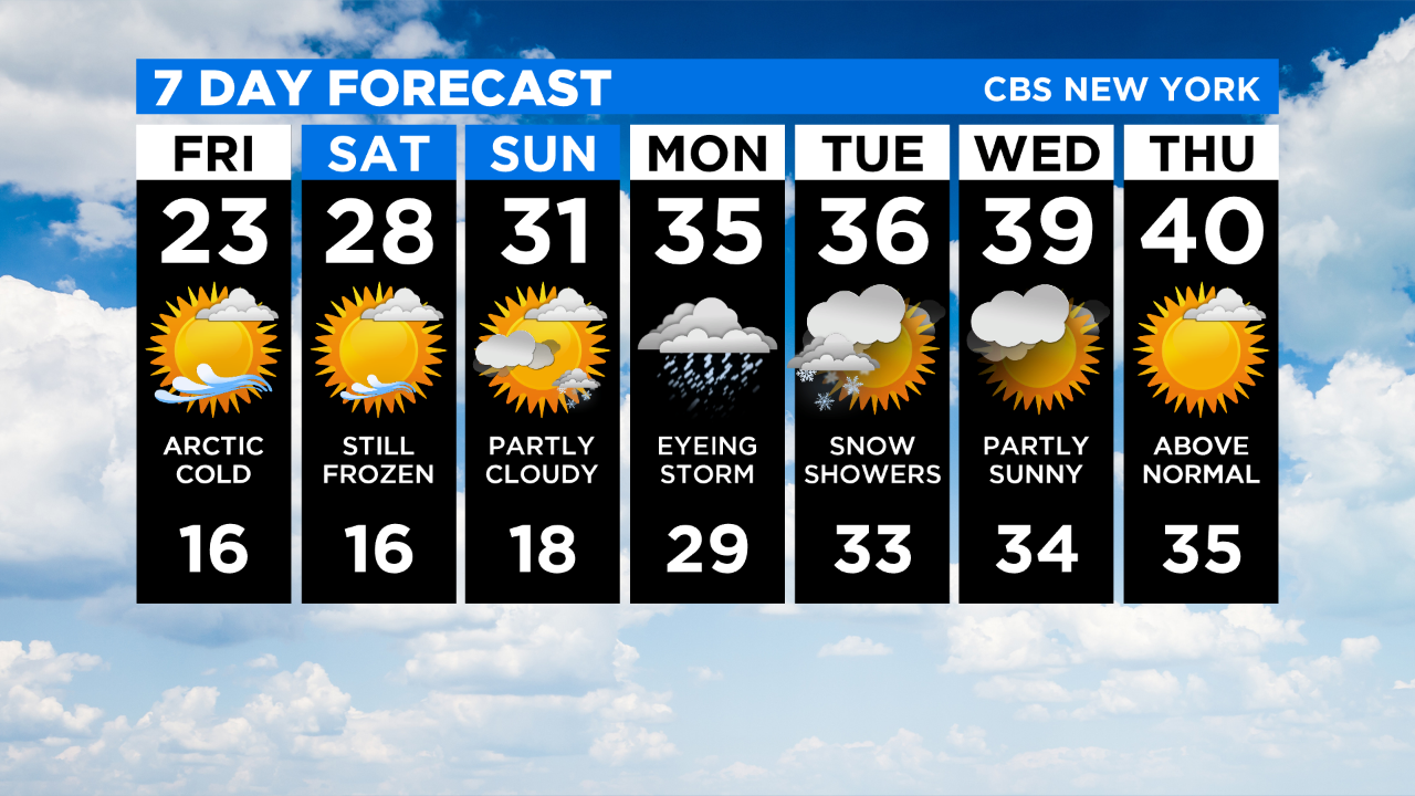
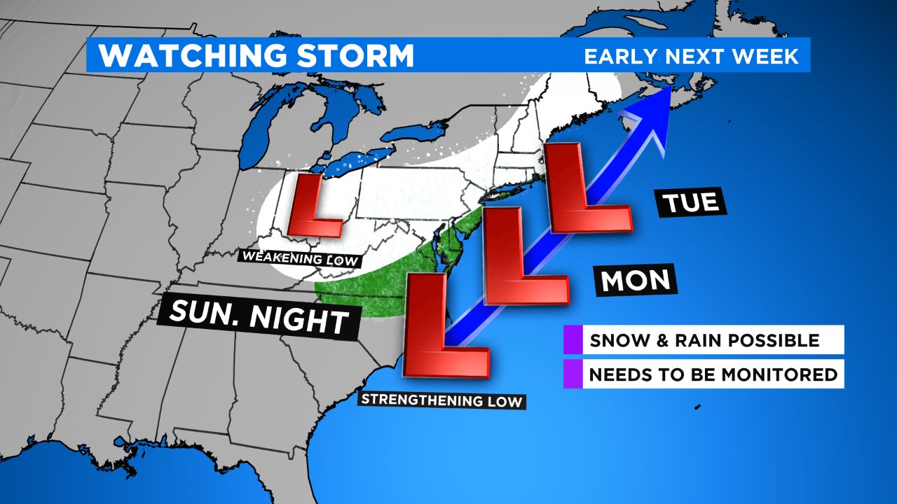
A coastal storm could potentially impact the area late Sunday night into Tuesday AM...
POSSIBLE TO LIKELY:
-Snow & rain
-Gusty winds
-Coastal Flooding
The exact track will dictate precipitation types, totals, wind speeds, etc., and unfortunately even as of this morning there's still some wobbling going on. For example, the European model has taken the storm farther S&E and only puts down 2" of snow in the city (0-2" N&W and 3-6+" S&E); the American model keeps the storm closer to the coast and has 8" of snow in the city with a widespread 5-10". The consensus, however, is that there will be a storm. How close does it get to us? That will be the big question over the next few days.